By Jamie Bateman at Surfline.com (13/9/2023)
Welcome to September, and we’re officially in the heart of the North Atlantic’s hurricane season. But what does that mean for surf in Europe?
No different than what it means for the Caribbean or the US east coast surfers, who look forward to quality surf as we do. But while they’re hoping the storms stay away from the coast, we’re willing them to come our way and bring waves with them.
In fact, savvy European surfers pay close attention to the eventual tracks of Hurricanes as they can, and often do, lap around the sub-tropical ridge mid-Atlantic (about 30 degrees north of the equator) and march eastwards, aiming powerful winds towards the multi-country, western flank of Europe.
This is why those east coast hurricanes pique our interest on this side of the globe. Because Europe does receive swell from officially named, warm core Hurricanes and Tropical Storms (TS) and, using Surfline swell and wave-period charts, you can trace the long-period energy these storms create as they fan out across the North Atlantic.

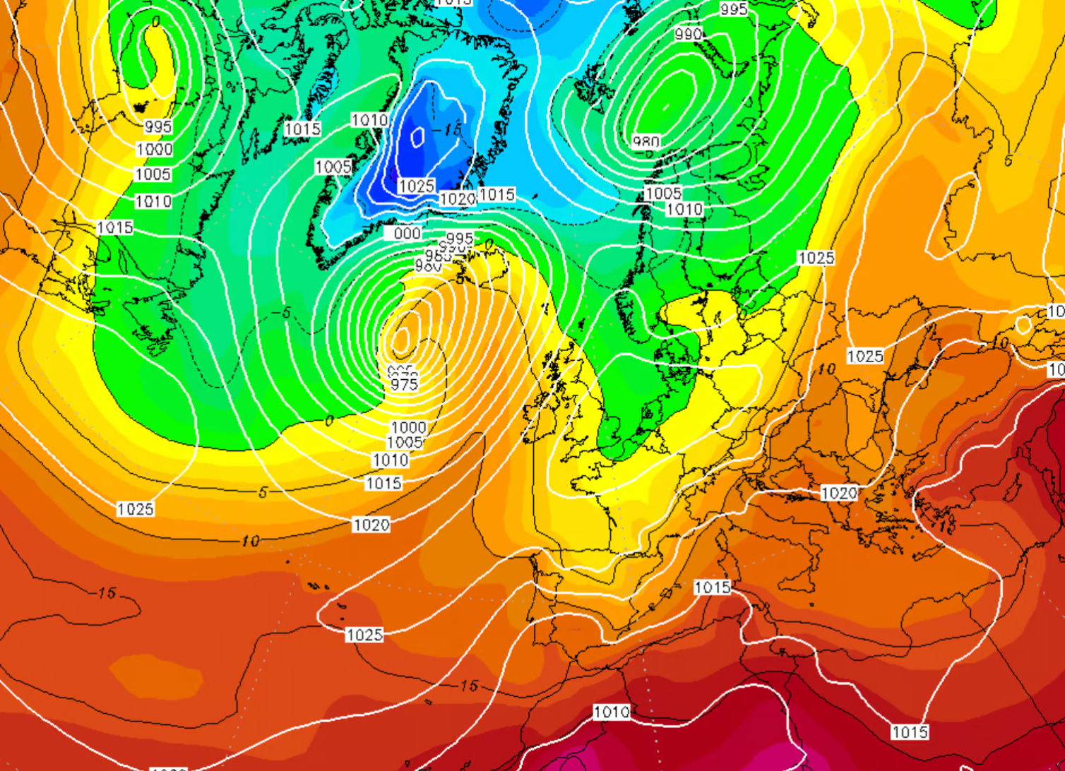
Things can get real interesting too when these storms interact with the jet stream and fuel mid-latitude storms turning them in to some proper swell producing monsters. Hurricane swells usually arrive in Europe as the northern hemisphere transitions to autumn and more often than not, the first hurricane swell of the season can break a summer flat spell. Perhaps making them all that more poignant.
July and August didn’t exactly ring the summer bells in the UK this year, yes there was surf, sometimes very good surf, but warm, offshore days were very few and far between.
Cue the first hurricane swell of the season, Hurricane and then TS Franklin, the skies cleared, temperatures warmed and west facing shores finally got a belated summer gift. On a personal note, Oct 1988 (yes, I’m that old) saw the biggest and best surf I’ve ever seen in Wales and no doubt the western shores of Europe did too.
Category four Hurricane Helene marched north east out of the tropics late September and into early October and transitioned to a big, extra-tropical low pressure system in the North Atlantic as a large high-pressure system sat over Europe. Days of waves, days of sun and one that set the scale for hurricane swells in the memory bank.
You can spot a hurricane on Surfline’s swell charts, see example video at the top of the page. Click over to the charts tab of your spot page and thumb around a little to trace where these hurricanes are going and follow the swell. For any major incident though, we’ll launch an Incoming: a series that breaks down what’s about to happen with a forecast and, most importantly, what it means for the surf.
Find similar articles
blog

